Visitor information for Albany Regional Map
Albany Regional Map is a beautiful destination in Albany WA:
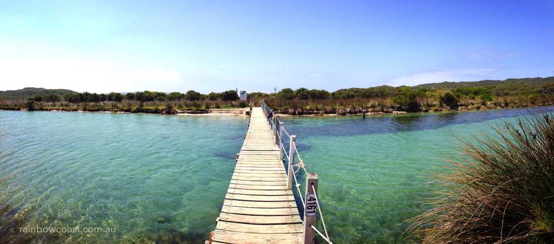
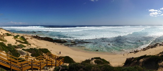
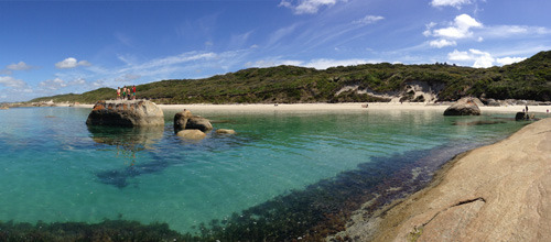
Map of the Albany Region and a regional overview. Visit Albany Regional Map
CLICK HERE FOR DETAILS ON Albany Regional Map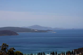
Frequently Asked Questions about Albany Regional Map:
Question: Where is Albany Regional Map located?
Answer: Albany Regional Map is located near Albany Western Australia. Albany is on the south coast of Western Australia. Use your GPS and go directly to this Latitude: -34.948428 and Longitude: 117.852402 in Western Australia - on the South Coast of Western Australia.
Get Directions (Google Maps)Get Directions (Apple Maps)
Open in Waze
Question: What is the weather like at Albany Regional Map?
Question: Where can I find out more about Albany Regional Map?
Answer: Details, including photographs and more can be found here Albany Regional Map.